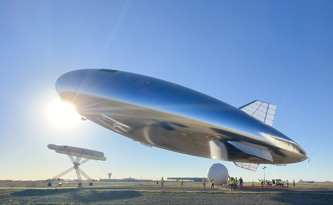
Sceye Demonstrates Solar and Battery Powered Flight for Climate Monitoring
This is a major step towards flying for months or years using solar power during the day and batteries for night flights, which are recharged by the sun the next day.
Sceye, a US-based high-altitude platform systems manufacturer, announced on Monday that it completed a full diurnal flight in the stratosphere while staying over an area of operation.
According to a company press note, this is a major step towards flying for months or years using solar power during the day and batteries for night flights, which are recharged by the sun the next day.
The HAPS launched at 7:06 p.m. India time on Aug. 15 from the company’s New Mexico facility and landed at 11:51 p.m. IST the following day after the flight test points were completed.
“This is a significant milestone for the Sceye team toward opening up vast opportunities in the stratosphere, building an entirely new layer of infrastructure between drones and satellites,” said Sceye CEO and Founder Mikkel Vestergaard Frandsen in a statement.
The ability to stay in the stratosphere for long durations over an area of operation offers a unique vantage point for detecting climate disasters in real-time, such as wildfires and methane leaks.
It can also provide connectivity to the billions of unconnected, which conventional infrastructures cannot serve.
Today’s launch furthered all key stratospheric objectives of the Sceye 2024 test program, including demonstrating diurnal flight, controlled relocation and the ability to stay over an area of operation.
The completion of these objectives will allow Sceye to initiate commercial use cases.
“The flight was an important demonstration of our platform’s performance and resilience. I’m looking forward to seeing the growth and capabilities scale with each and every flight that follows,” said Stephanie Luongo, Sceye’s chief of mission operations.
Sceye has completed 20 test flights, with two additional test flights planned for 2024, further maturing the platform in preparation for commercialization.
The flight carried an advanced payload suite consisting of stereo-optical cameras, which created precise elevation models to understand disasters such as flooding and earthquakes and how to mitigate them.
The payload included infrared cameras to predict and detect wildfires and methane leaks in real-time.
It also carried synthetic aperture radar, which allowed the platform to see through clouds and observe the planet’s most vital systems in any weather and at any time of day.

